 ENERGY CHARGE
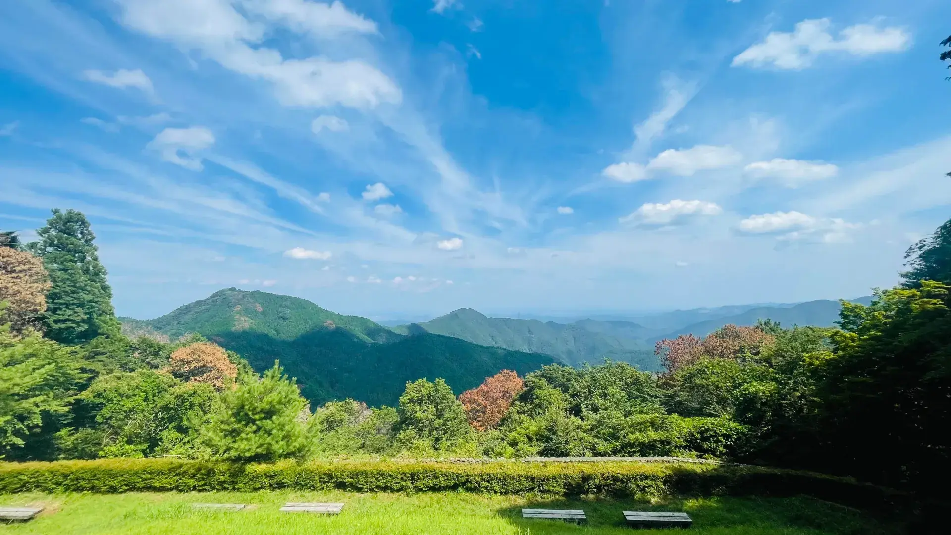
You don't need a car, fluent Japanese, or years of hiking experience to get out of Tokyo and onto a real trail this weekend. Some of Japan's most rewarding beginner hikes sit less than two hours from Shinjuku by train, with clear English signage and well-marked paths. Tokyo is unusual among major world capitals in this way — the mountains start almost the moment the suburbs end, and the train network was built decades before anyone worried about car access, so trailheads are stations, not parking lots.
Below are five routes we send first-timers to most often, roughly ordered from easiest to most demanding, plus the practical details — train lines, IC card access, what the trail actually feels like underfoot — that guidebooks tend to skip.
Mount Takao (高尾山)
The classic starter hike, and for good reason. Take the Keio Line directly to Takaosanguchi Station (about 50 minutes from Shinjuku), then choose from six numbered trails ranging from a paved cable-car-assisted stroll to a proper forest scramble. Trail 1 is fully signed in English and Japanese, and the summit view of Mount Fuji on a clear winter morning is worth the climb alone. Round trip: 3–4 hours.
What guidebooks under-sell: Takao gets genuinely crowded on weekends, especially during autumn foliage (mid-to-late November) and New Year sunrise season. If you want the quiet-forest experience rather than a queue, go on a weekday morning or take Trail 6, which follows a stream up a narrow valley and sees a fraction of the Trail 1 foot traffic. There's also a real onsen (hot spring bath) at the base, Keio Takaosan Onsen Gokurakuyu, a two-minute walk from the station — genuinely worth the extra hour if your legs are tired.
Okutama's Mitake-san
An hour further out on the JR Ome Line, Mitake-san (Mount Mitake) trades Takao's crowds for cedar forest and a working mountain shrine village that still has a handful of ryokan-style inns. A cable car covers the steepest section, so you can go straight to a gentle ridge walk with river views down into the Tama valley. Good for a slower, quieter day than Takao, and a good pick if you're bringing someone with knee concerns or young kids.
Beyond the shrine village, the trail continues to Nanatsuishi Yama and eventually down to the Nanayo waterfall, adding roughly 90 minutes if you want more distance without more difficulty — the grade stays gentle the whole way.
Jinba-san Ridge
For hikers who've done Takao once already and want more distance, the Jinba-san to Takao ridge traverse is a full-day route (5–6 hours) connecting several peaks along one continuous ridge, finishing back at the familiar Takaosanguchi station. It's the natural "level two" once Takao alone feels too short, with real elevation change but no technical scrambling.
Mount Mitsutoge (三ツ峠山)
A step up in both distance and view quality. Reachable via the JR Chuo Line to Otsuki, then a local bus, Mitsutoge is one of the closer spots to Tokyo where Mount Fuji fills the entire horizon rather than appearing as a distant peak — on a clear day the summit view rivals routes deep in the Fuji Five Lakes area, at a fraction of the travel time. Expect 4–5 hours round trip and a steady, sustained climb rather than Takao's gentler grade.
Sayama Hills (Totoro Forest)
The easiest entry on this list, and a good half-day option if you're short on time or hiking with genuine beginners. Straddling the Tokyo–Saitama border and reachable from Seibu-line stations in about 40 minutes, Sayama's low wooded hills were the real-world inspiration for the forest in My Neighbor Totoro. Flat-to-rolling paths, well-shaded in summer, and almost no elevation gain — a genuine "test the waters" hike before committing to a full mountain day.
What to bring
- A refillable water bottle — vending machines thin out past the trailhead, and most routes above have none once you're on the ridge
- Trail shoes with real grip; several sections get muddy after rain, especially on Mitake-san and Mitsutoge
- A Suica or Pasmo IC card for seamless train and bus access — you'll rarely need to buy a paper ticket for any of these routes
- Layers — mountain weather shifts fast, even in the same afternoon, and it's routinely 5–8°C cooler at a Takao or Mitsutoge summit than at the station you started from
- Cash in small bills — mountain huts, vending machines at trailheads, and local buses don't always take IC cards for purchases (though most bus fares do)
Best time of year
Spring (late March–April, cherry blossoms at lower elevations) and autumn (November, peak foliage on Takao and Mitake) are the most rewarding but also the most crowded weekends. Early summer (May–early June) is quieter and still comfortable before the humidity of Japan's rainy season sets in. Winter is genuinely underrated here — cold, clear days give the best Mount Fuji visibility of the year, and trails that are packed in autumn are nearly empty.
Common questions first-timers ask
Do I need hiking experience? No — Takao, Mitake-san, and Sayama Hills are all walkable in normal trainers if the ground is dry, though proper trail shoes make a real difference once it's wet.
Is it safe to hike alone as a foreigner? Yes, on any of the routes above — they're well-marked, well-populated on weekends, and Japan's mountain trails are generally very safe. That said, many people prefer starting with a group simply for the company and local knowledge, not for safety reasons.
What if I don't speak Japanese? All five routes above have English trail signage at the major junctions, and station staff on these lines are used to hikers.
Going with a group
Hiking solo as a beginner or new arrival in Tokyo is completely doable on these routes, but if you'd rather not navigate trail junctions alone on your first few tries — or you just want the company and a shared campfire afterward — Energy Charge runs small, bilingual group hikes (max 8 people per guide) that cover these exact mountains, plus a few less-obvious ones further out toward Kanagawa and Yamanashi.